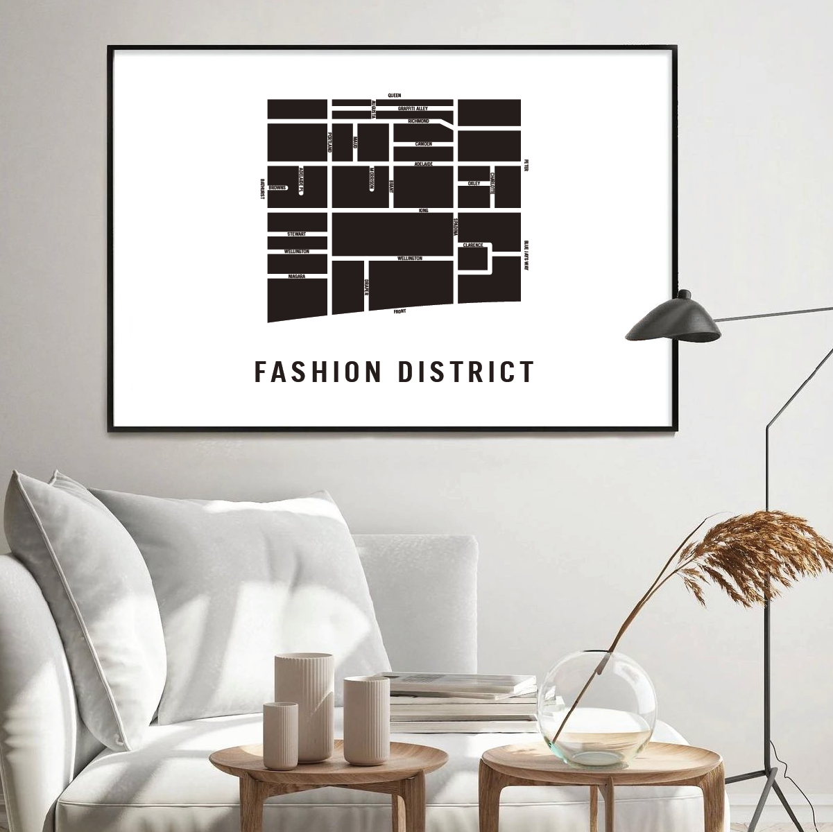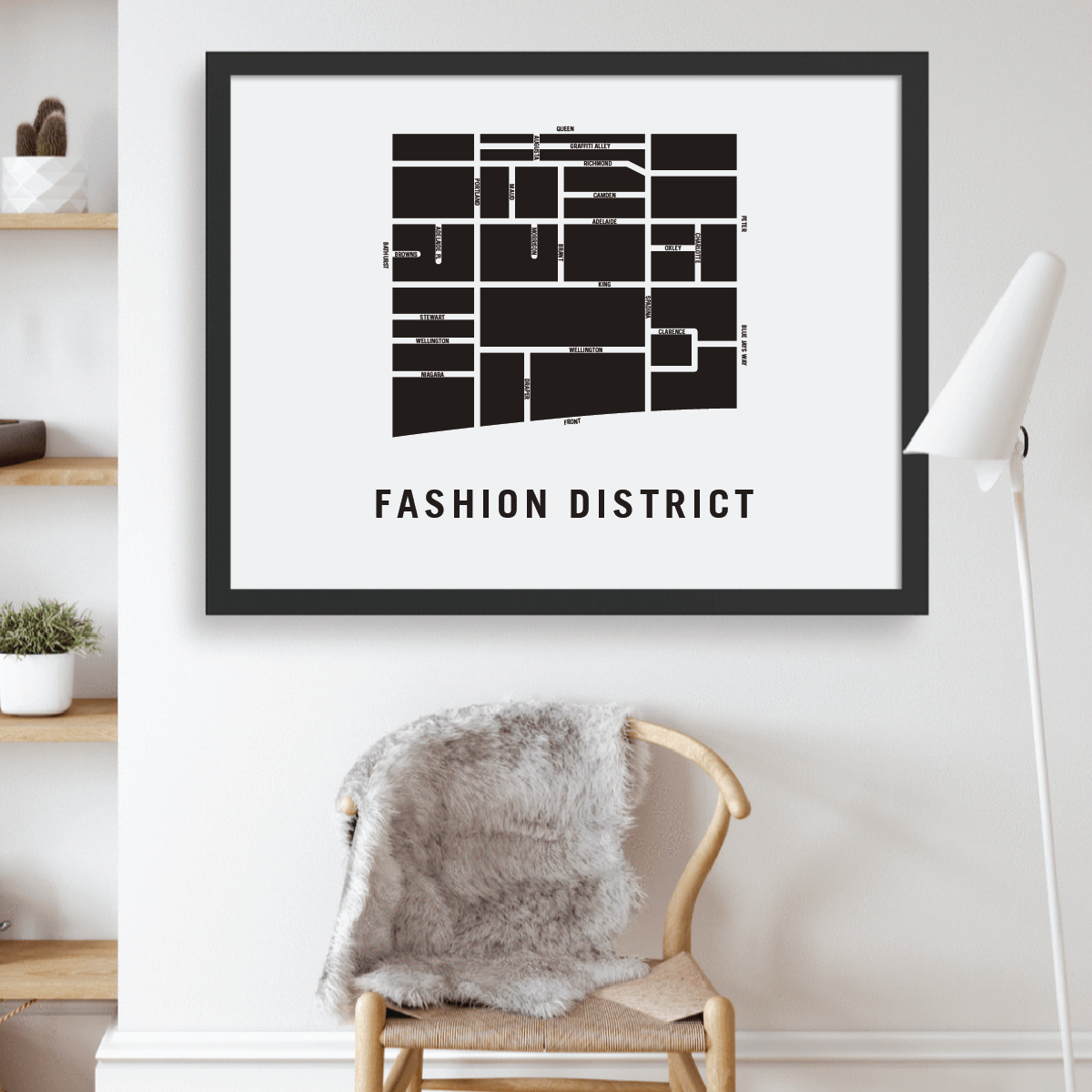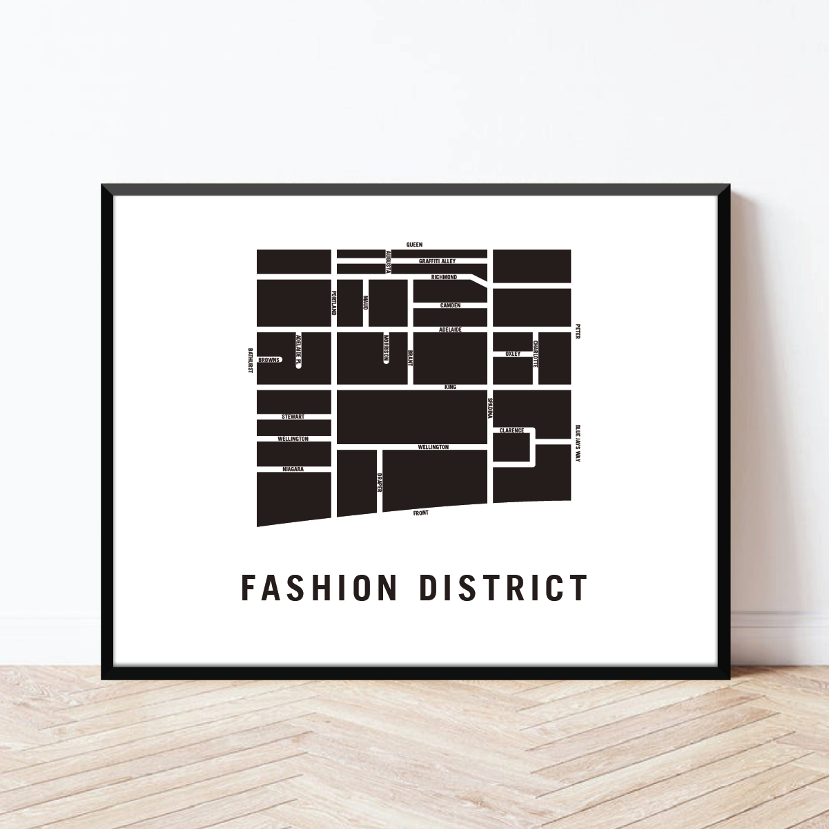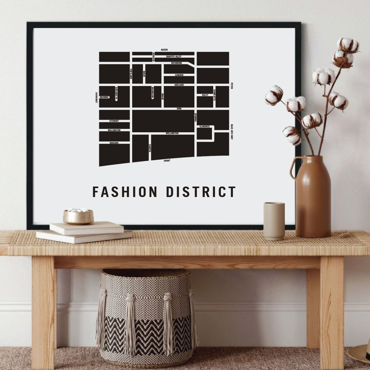

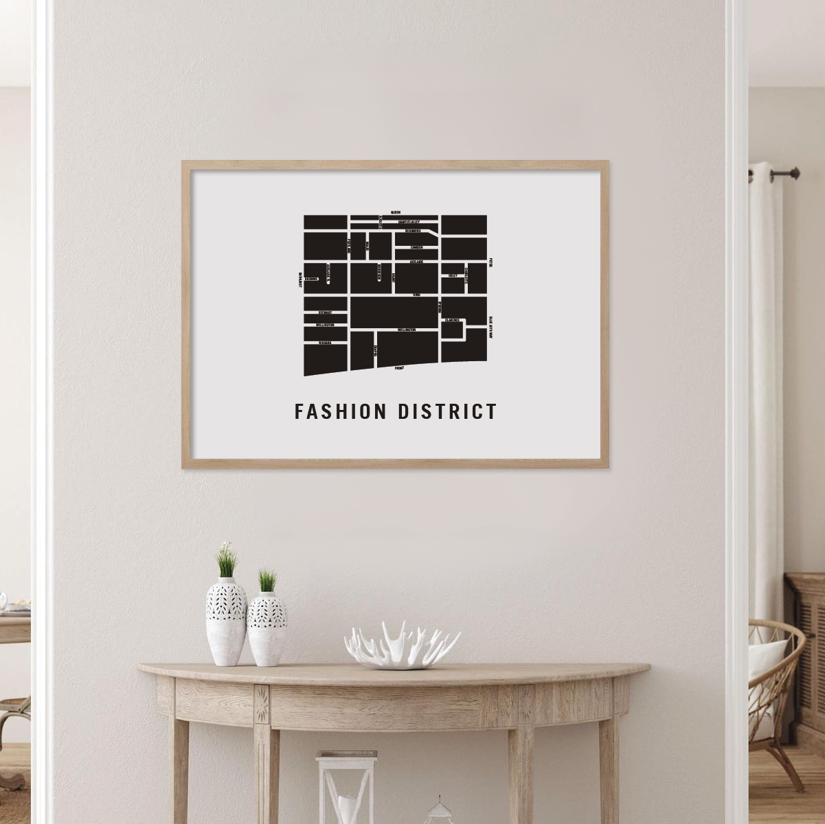
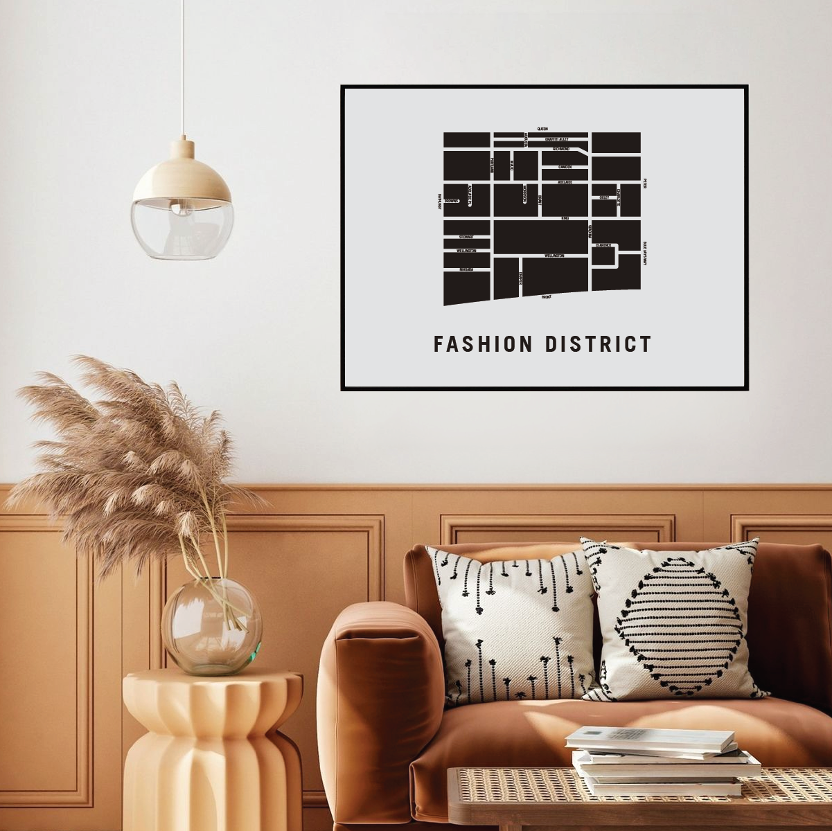
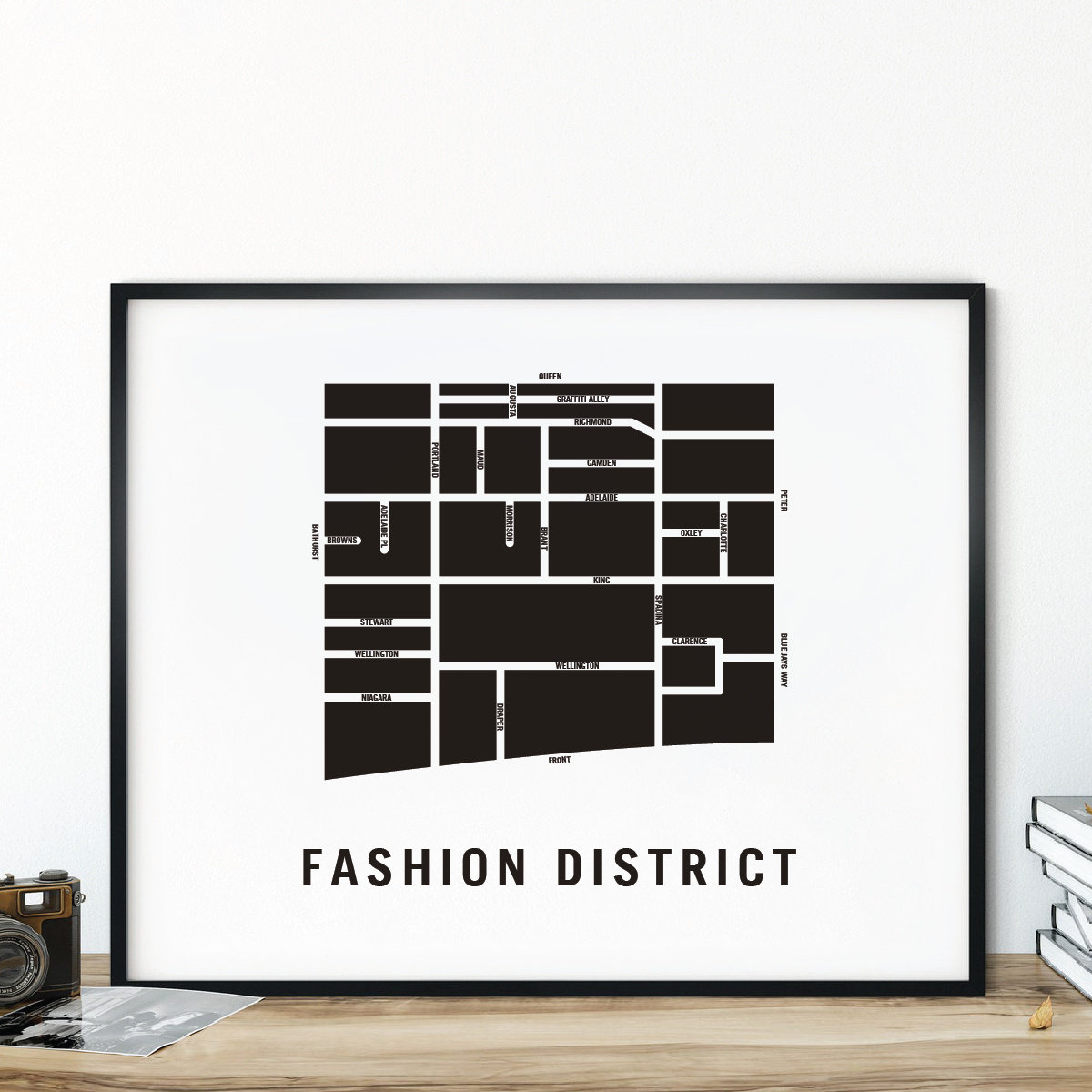


Fashion District Map, Toronto
Fashion District Map, Toronto
Couldn't load pickup availability
Fashion District Neighbourhood
In the early 1900s, the neighbourhood looked very different from the hustling streets it's known for today. It was mainly a residential area until warehouses and factories began opening up.
The factories came for multiple reasons, including the nearby railways which connected the city and fueled its development as a commercial area.
Prior to being a fashion district, the neighbourhood had a very large Jewish population. According to this city document, 80 per cent of the city's population lived here.
Consequentially, Jewish businesses, synagogues and delis were found throughout the neighbourhood. It was also members of this community who worked in the garment industry, informally known as the "rag trade."
The community took advantage of being situated nearby warehouses, along with a growing demand for garments, and thrived in Toronto's fashion and textile industry.
The area became so well known for its factories, that it gained the name Garment District.
Fashion District neighbourhood map prints make the best housewarming gift for friends and couples. The perfect gift for new homeowners who have just bought their first home. Pay tribute to your favourite neighbourhood or city and customize the map with a heart on your home location. The perfect realtor gift idea.
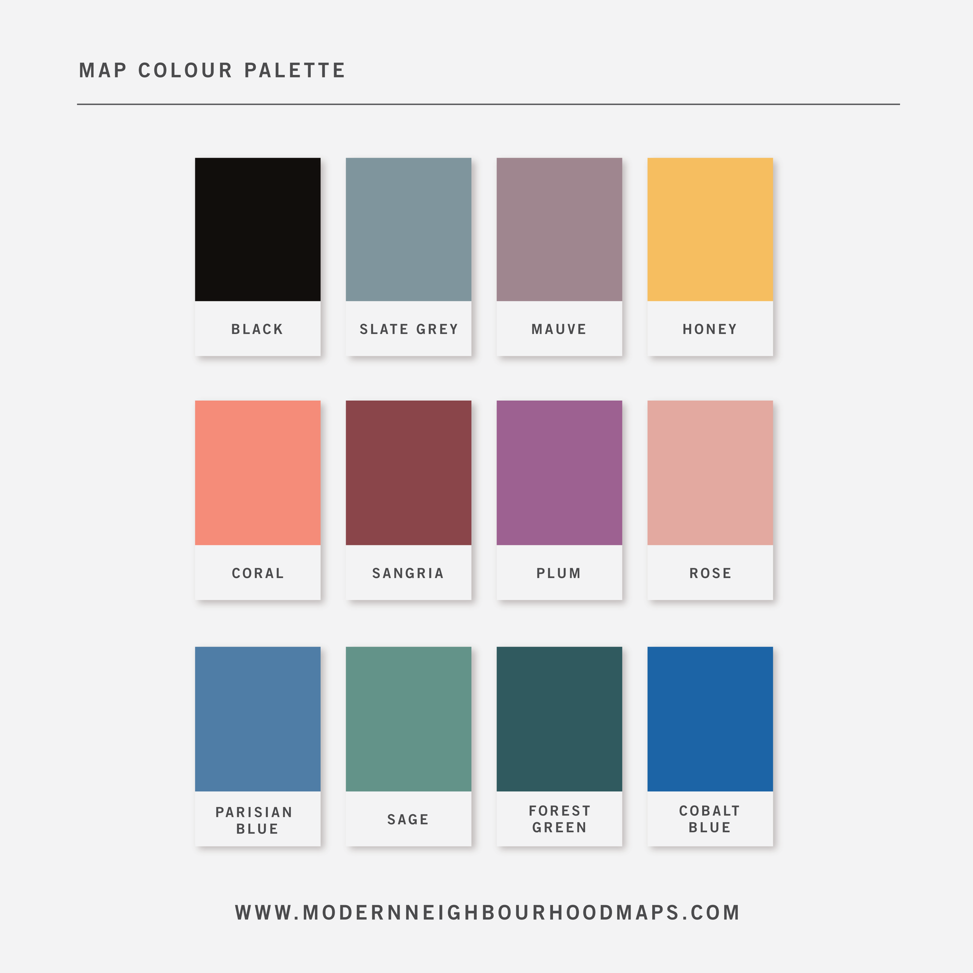
Physical Prints: My prints are uniquely designed, printed on thick, high-quality paper and carefully packaged for delivery. Various colours and custom sized prints available upon request. See colour chart provided. Frame is not included.
Customization
Customization
Choose from a wide range of colors, add a heart to your home, or request a custom-sized print. I am happy to personalize your map to make it extra special.
Frame is not included unless added separately.
Digital Download
Digital Download
If you choose to purchase a digital print, you will receive a high-resolution PDF file (300pixels/inch), which will give you very clean and sharp prints when printed any size.
At this time, customization of prints (heart on address) are for physical prints only.
This is a digital file. No physical items will be sent.
Shipping & Delivery
Shipping & Delivery
We offer FREE SHIPPING worldwide!
All our posters are printed on demand in order to ensure great quality, minimize waste, and be environmentally conscious. Therefore, regular poster orders take 3-4 business days to be processed before being shipped out.
Custom map orders require 1-2 weeks to design, review, print and ship.
All our prints are packaged in 100% recycled cardboard poster tubes or stiff photo envelopes.
Learn more about our shipping policy here.
Our Commitment
Our Commitment
Our map posters are designed and printed locally in Toronto, Ontario.
They are printed on 190GSM smooth PhotoSatin paper which offers vivid colors and great contrasting blacks.
Our local Canadian print house carefully selects sustainably sourced paper with fiber originating from FSC-certified, longstanding plantations, or from new fiber plantations established on degraded agricultural or pasture lands within Canada.
Their selection of paper from responsible sources are backed with certifications from:
- The Forest Stewardship Council
- The Rainforest Alliance
- The Programme for the Endorsement of Forest Certification
- The Sustainable Forestry Initiative
- The Canadian Standards Association