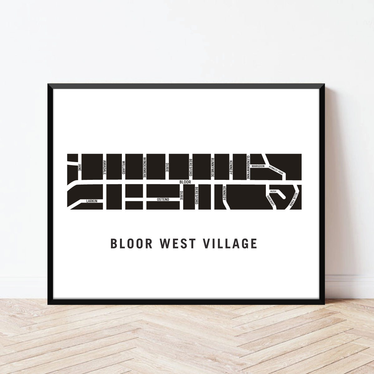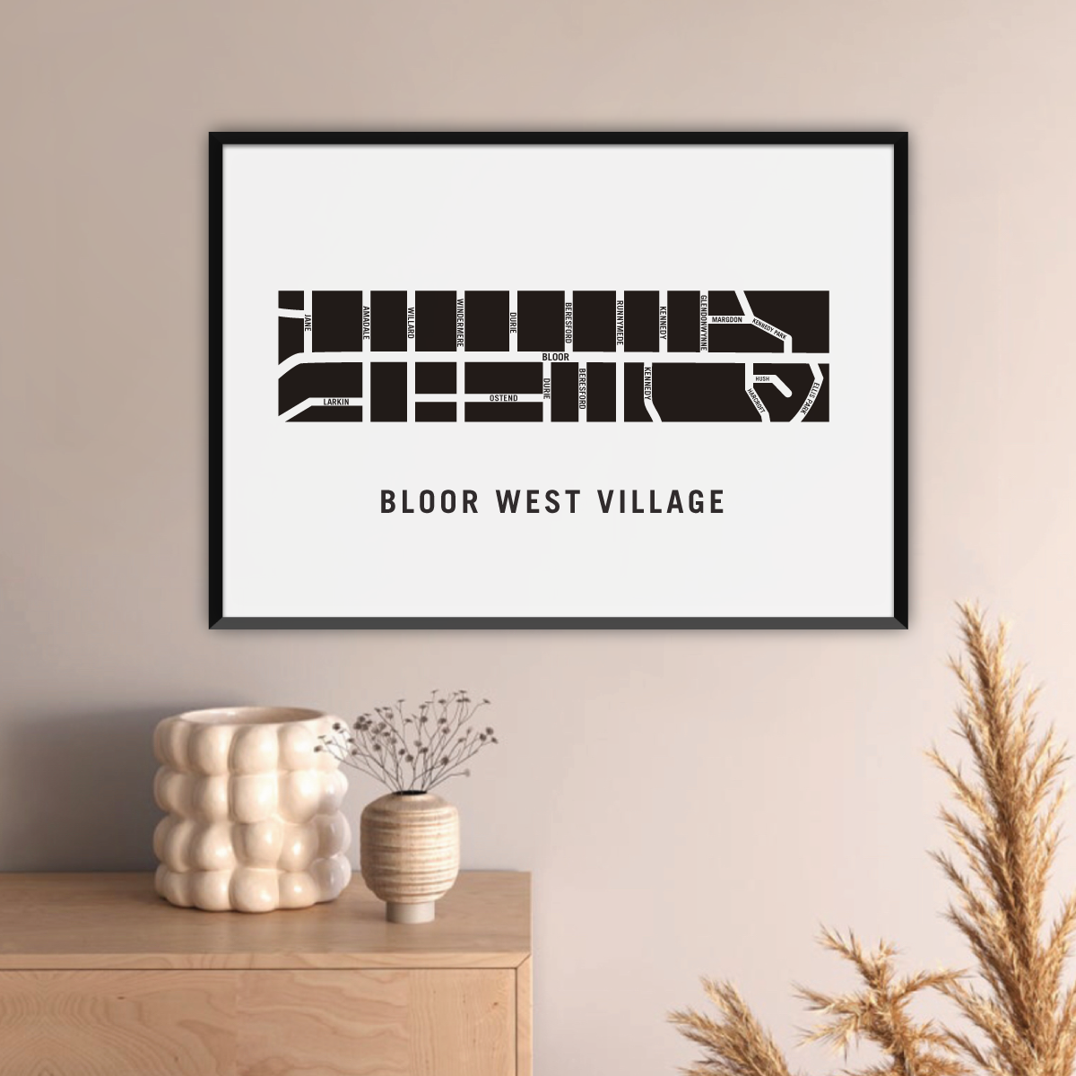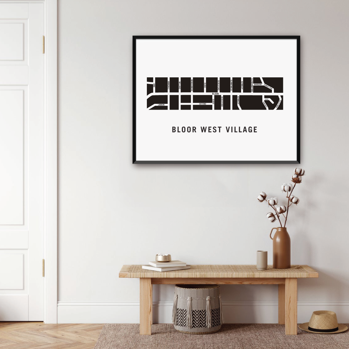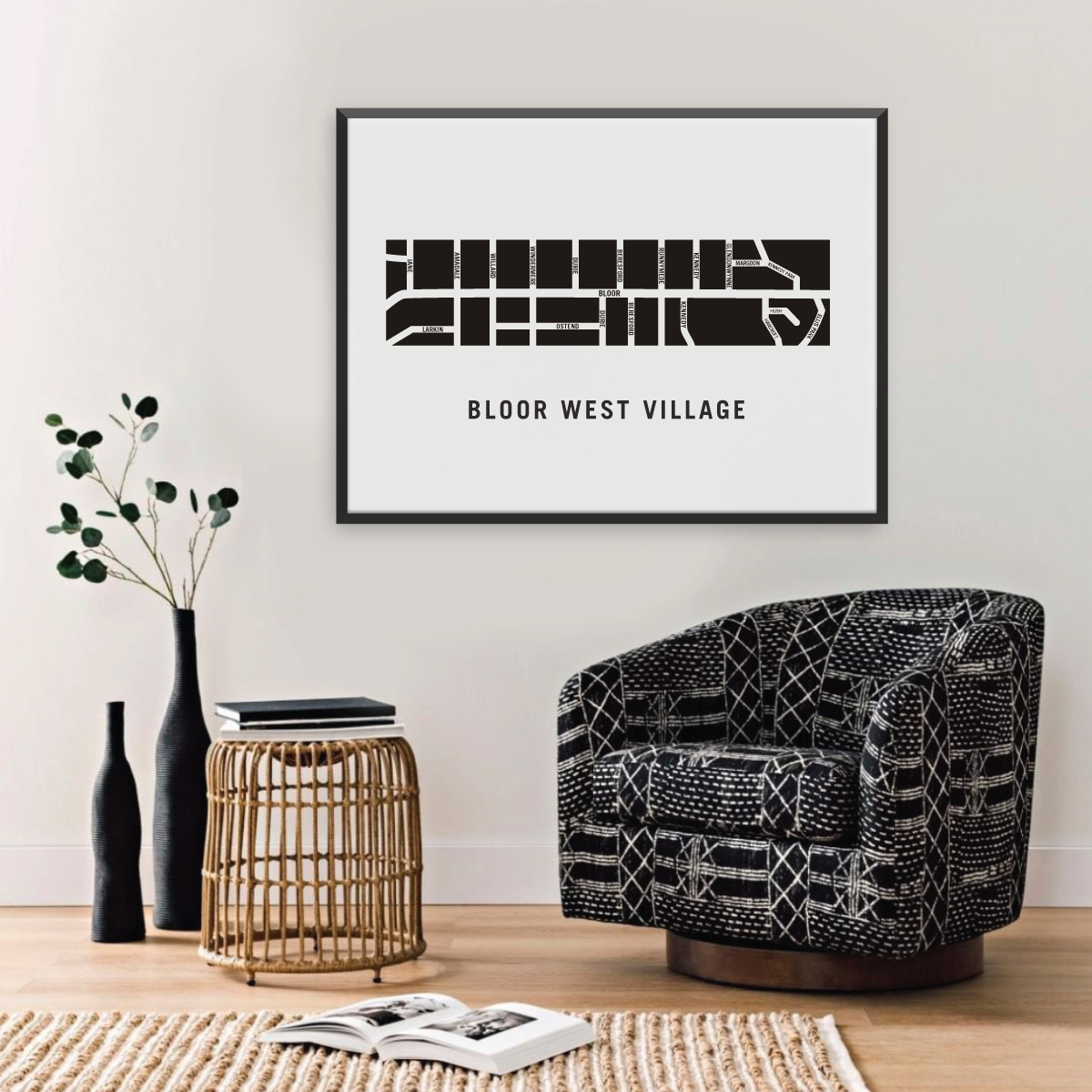


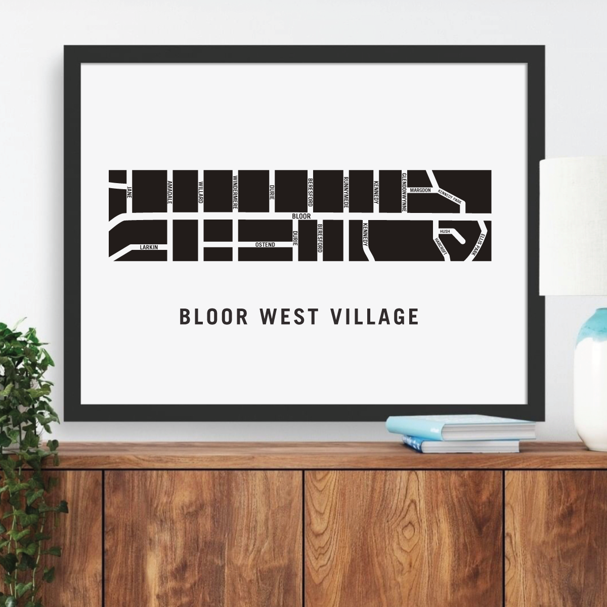


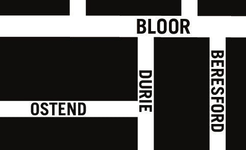
Bloor West Village Map, Toronto
Bloor West Village Map, Toronto
Couldn't load pickup availability
The Bloor West Village Neighbourhood
In the 1850’s, the area now known as Bloor West Village was the property of Lieutenant Colonel William Smith Durie, the first commanding officer of the Queens Own Rifles. The street that ran through his estate is now known as Durie Street.
The present day neighbourhood began to be developed in 1909 when this district became part of the City of Toronto. Soon after amalgamation with Toronto, Bloor West’s roads were paved and city services were made available.
Bloor West’s first residents were immigrants of Eastern European background. These are the residents who helped found the Bloor West Village Business Improvement Area, the first of its kind in Canada. This shopping district has helped make Bloor West Village one of Toronto’s most popular neighbourhoods.
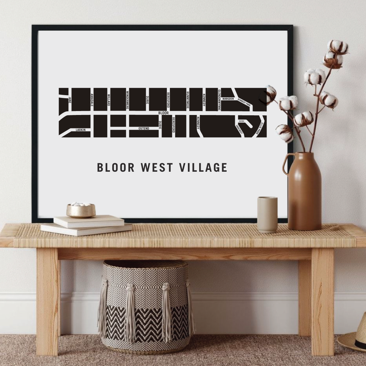
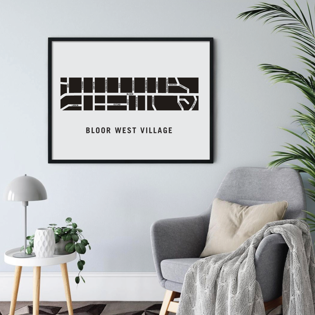
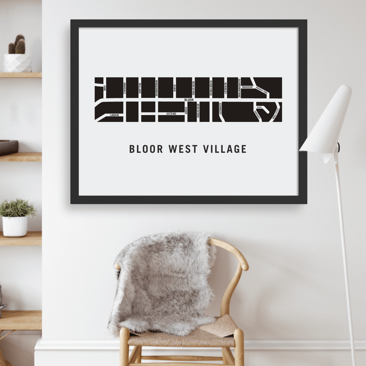
Bloor West Village neighbourhood map prints make the best housewarming gift for friends and couples. The perfect gift for new homeowners who have just bought their first home. Pay tribute to your favourite neighbourhood or city and customize the map with a heart on your home location. The perfect realtor gift idea.
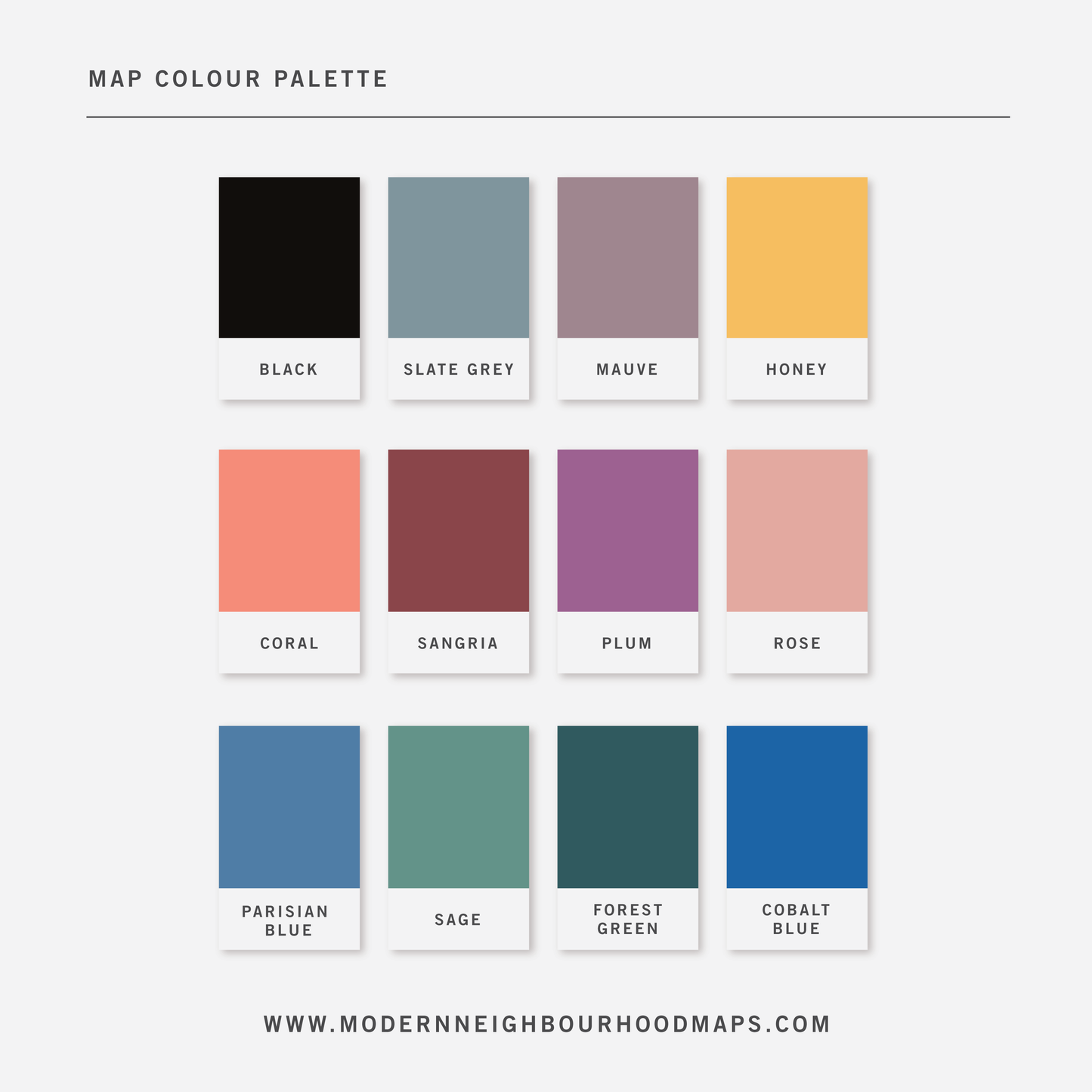
Physical Prints: My prints are uniquely designed, printed on thick, high-quality paper and carefully packaged for delivery. Various colours and custom sized prints available upon request. See colour chart provided. Frame is not included.
Digital Downloads: Each PDF file is high-resolution (300 pixels/inch), which will give you very clean and sharp prints. This is a digital file. No physical items will be sent.
Land Acknowledgement
The land on which Bloor West village is situated has been the traditional territory of the Haudenosaunee, Huron-Wendat, Petun First Nations, the Seneca,and many Anishnabek peoples including the Mississaugas of the New Credit First Nation. This land is subject to the Dish with One Spoon Wampum Belt Covenant. an agreement between the Iroquois Confederacy and Confederacy of the Ojibwe and allied nations to peaceably share and care for the resources around the Great Lakes.
Customization
Customization
Choose from a wide range of colors, add a heart to your home, or request a custom-sized print. I am happy to personalize your map to make it extra special.
Digital Download
Digital Download
If you choose to purchase a digital print, you will receive a high-resolution PDF file which will give you very clean and sharp prints when printed any size.
At this time, customization of prints (heart on address) are for physical prints only.
Shipping & Delivery
Shipping & Delivery
We offer FREE SHIPPING worldwide!
All our posters are printed on demand in order to ensure great quality, minimize waste, and be environmentally conscious.
All our prints are packaged in 100% recycled cardboard poster tubes or stiff photo envelopes.
Learn more about our shipping policy here.
Our Commitment
Our Commitment
Our map posters are designed and printed locally in Toronto, Ontario, Canada.
They are printed on 190GSM smooth PhotoSatin paper which offers vivid colours and great contrasting blacks.
Our local Canadian print house carefully selects sustainably sourced paper with fiber originating from FSC-certified, longstanding plantations, or from new fiber plantations established on degraded agricultural or pasture lands within Canada.
Their selection of paper from responsible sources are backed with certifications from:
- The Forest Stewardship Council
- The Rainforest Alliance
- The Programme for the Endorsement of Forest Certification
- The Sustainable Forestry Initiative
- The Canadian Standards Association