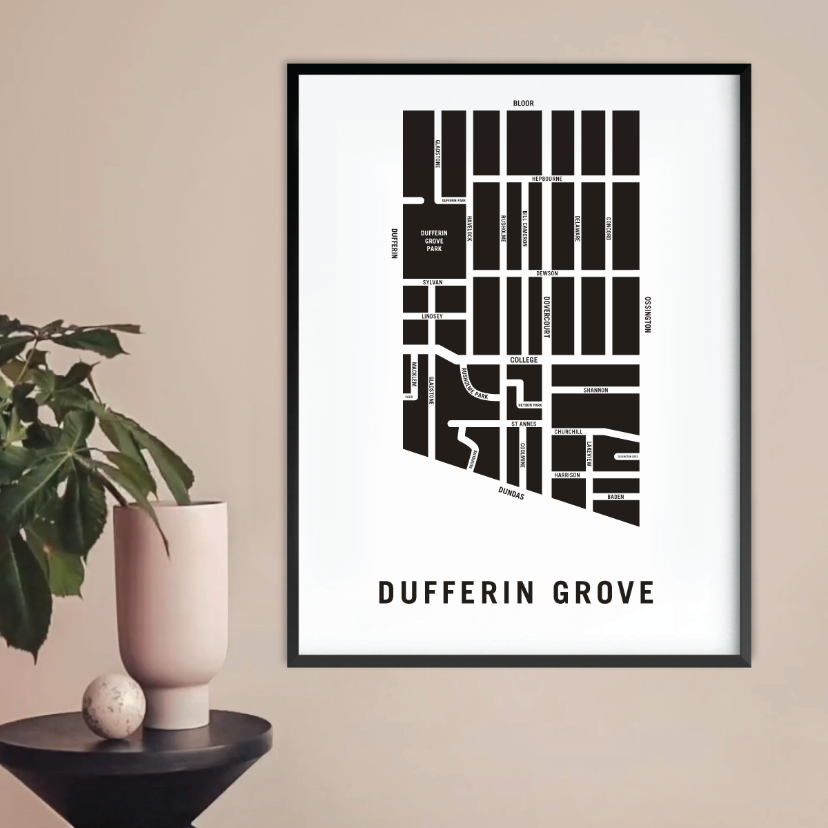
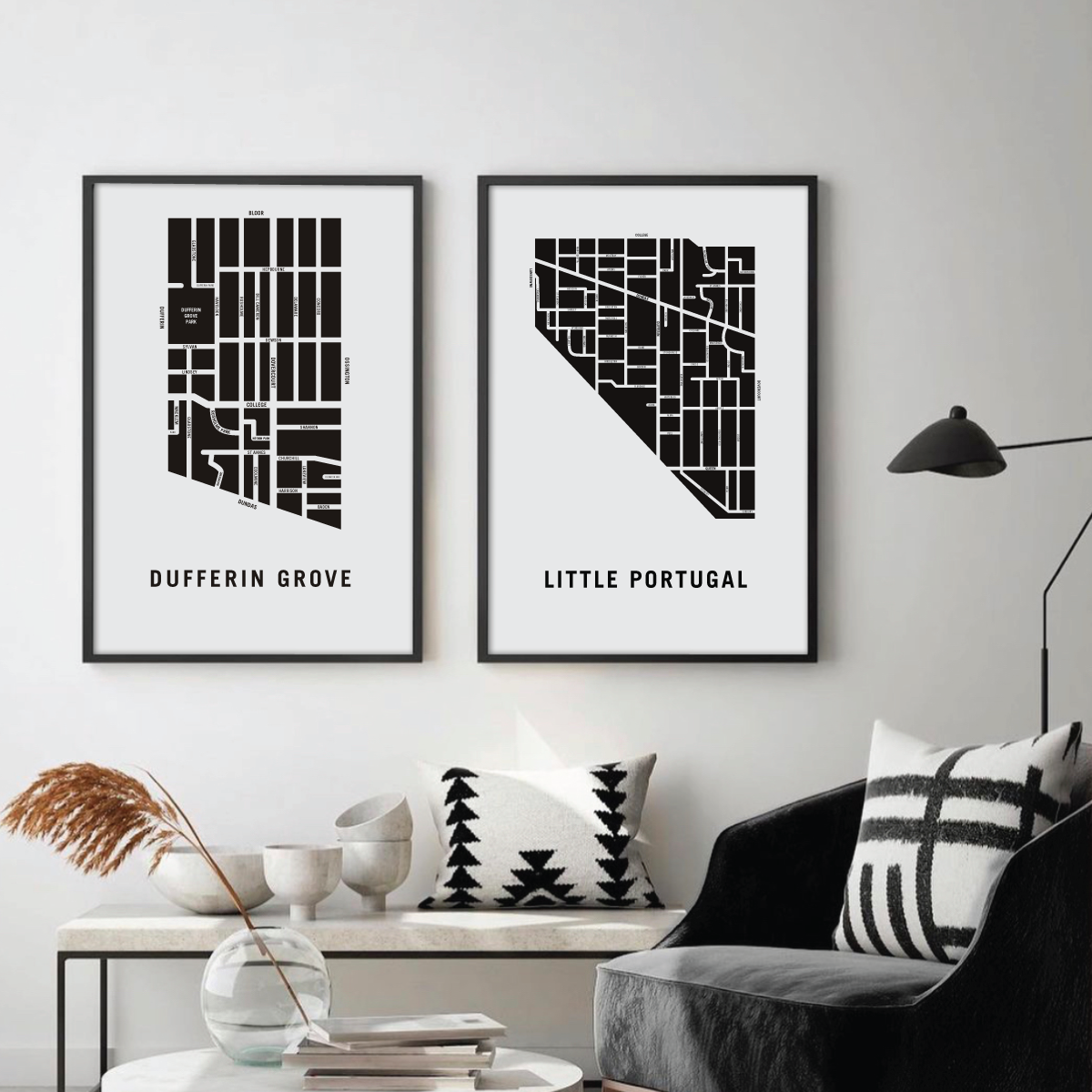
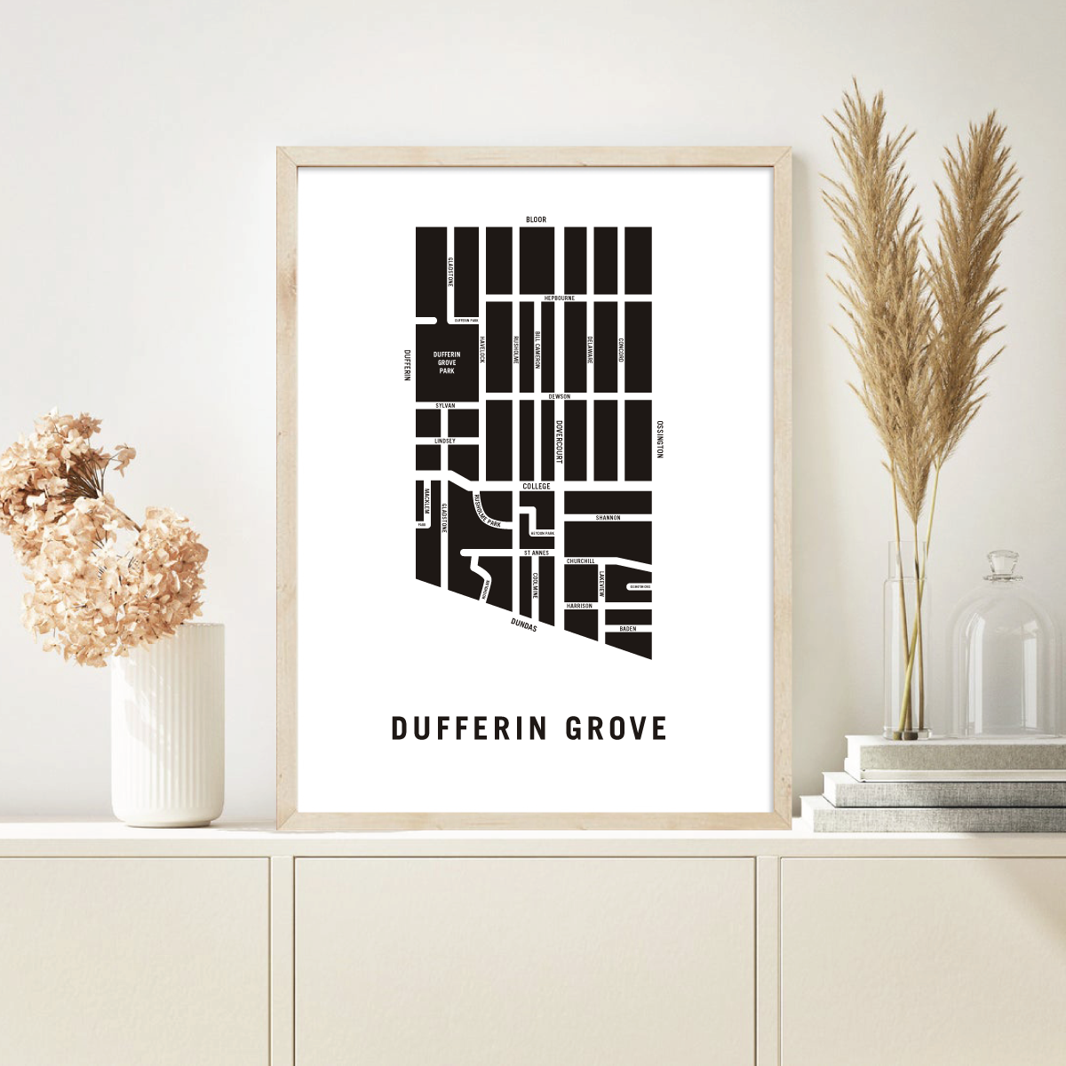
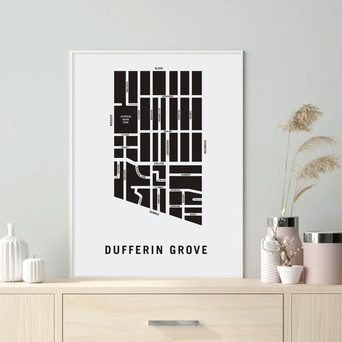
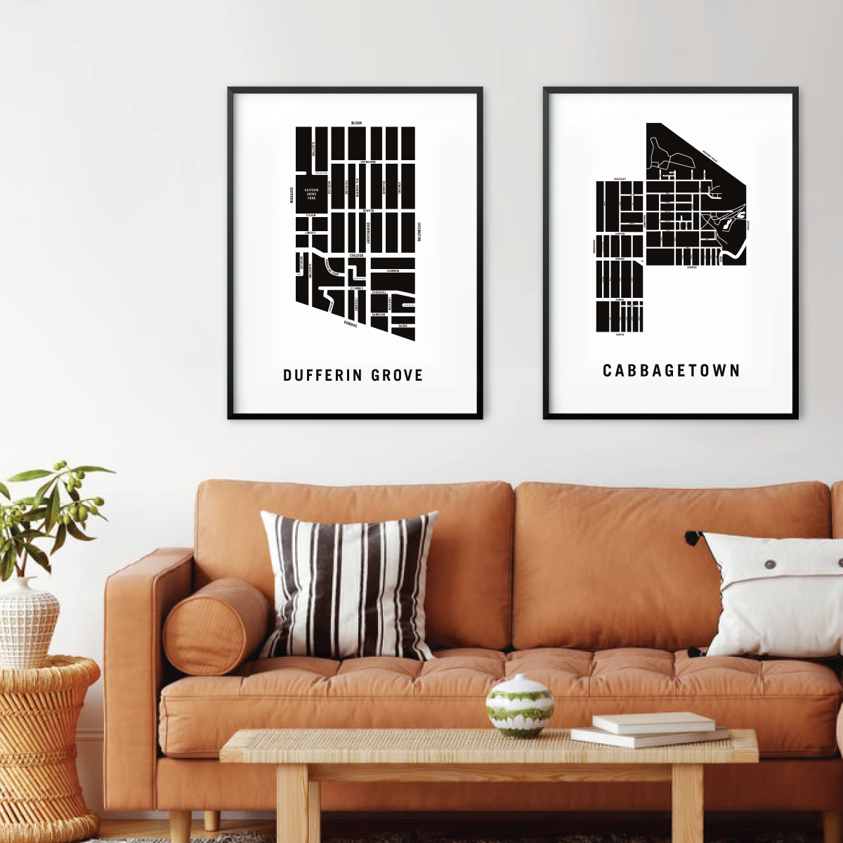
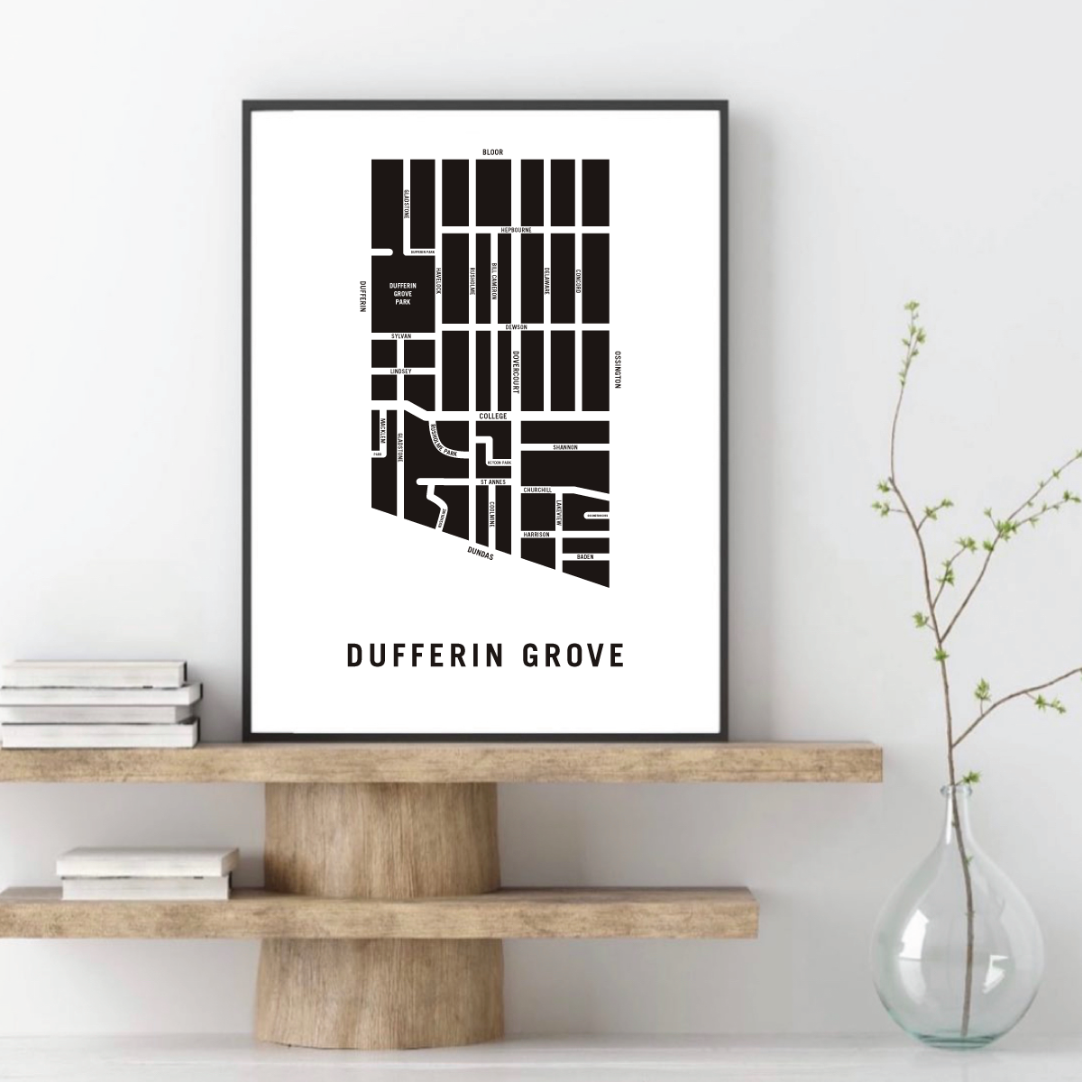
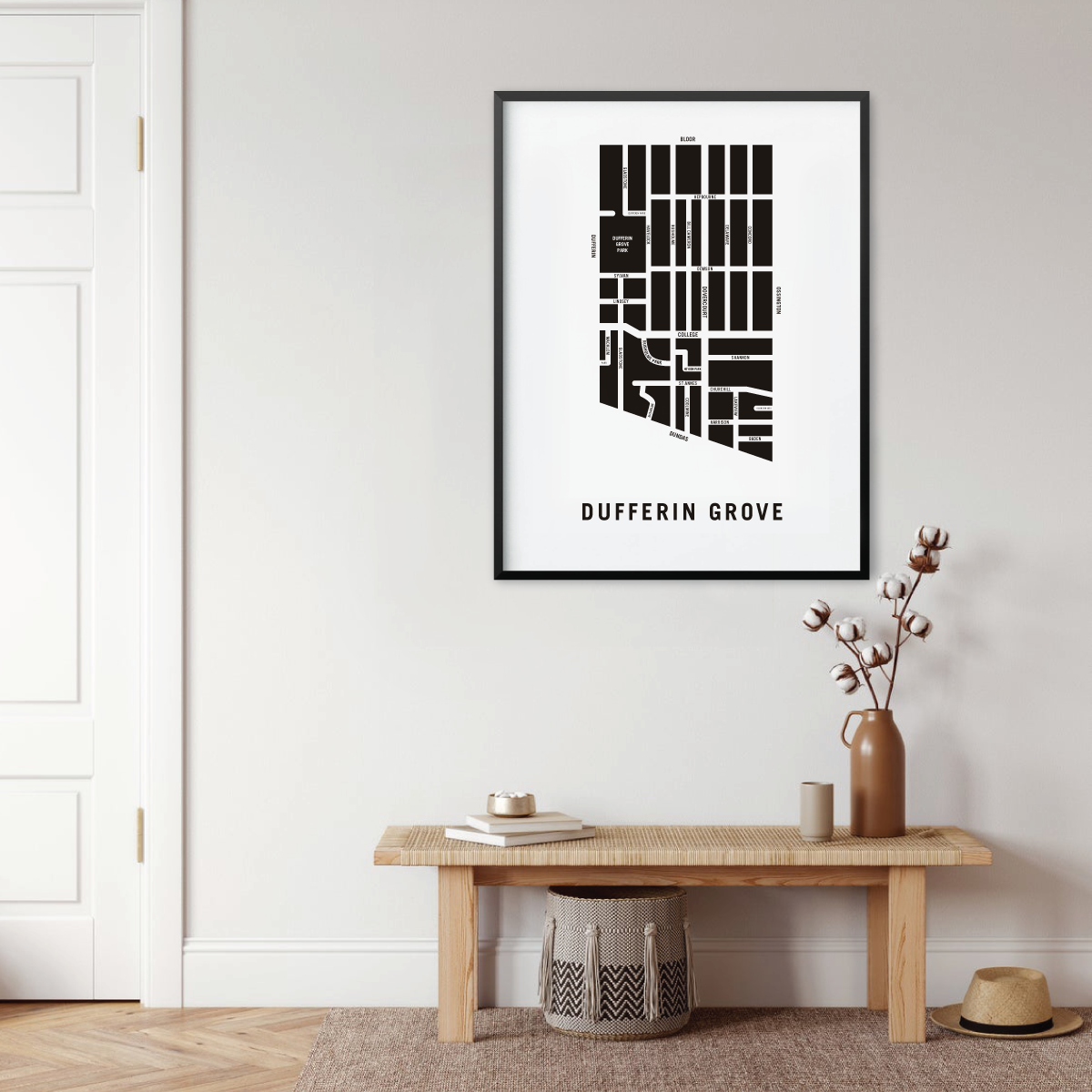
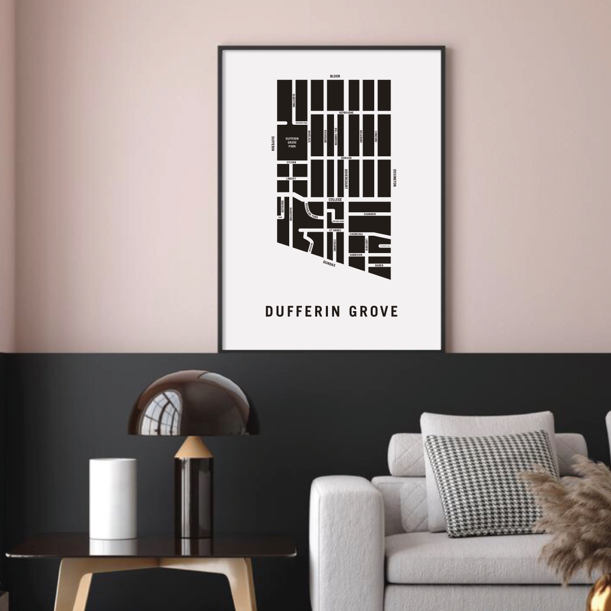
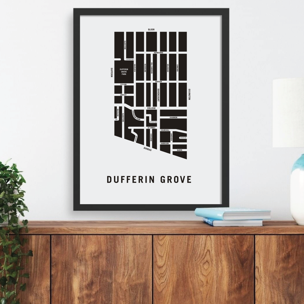
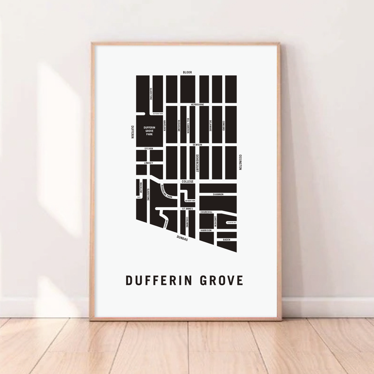
Our map posters are designed and printed locally in Toronto, Ontario, Canada.
They are printed on 190GSM smooth PhotoSatin paper which offers vivid colours and great contrasting blacks.
Our local Canadian print house carefully selects sustainably sourced paper with fiber originating from FSC-certified, longstanding plantations, or from new fiber plantations established on degraded agricultural or pasture lands within Canada.
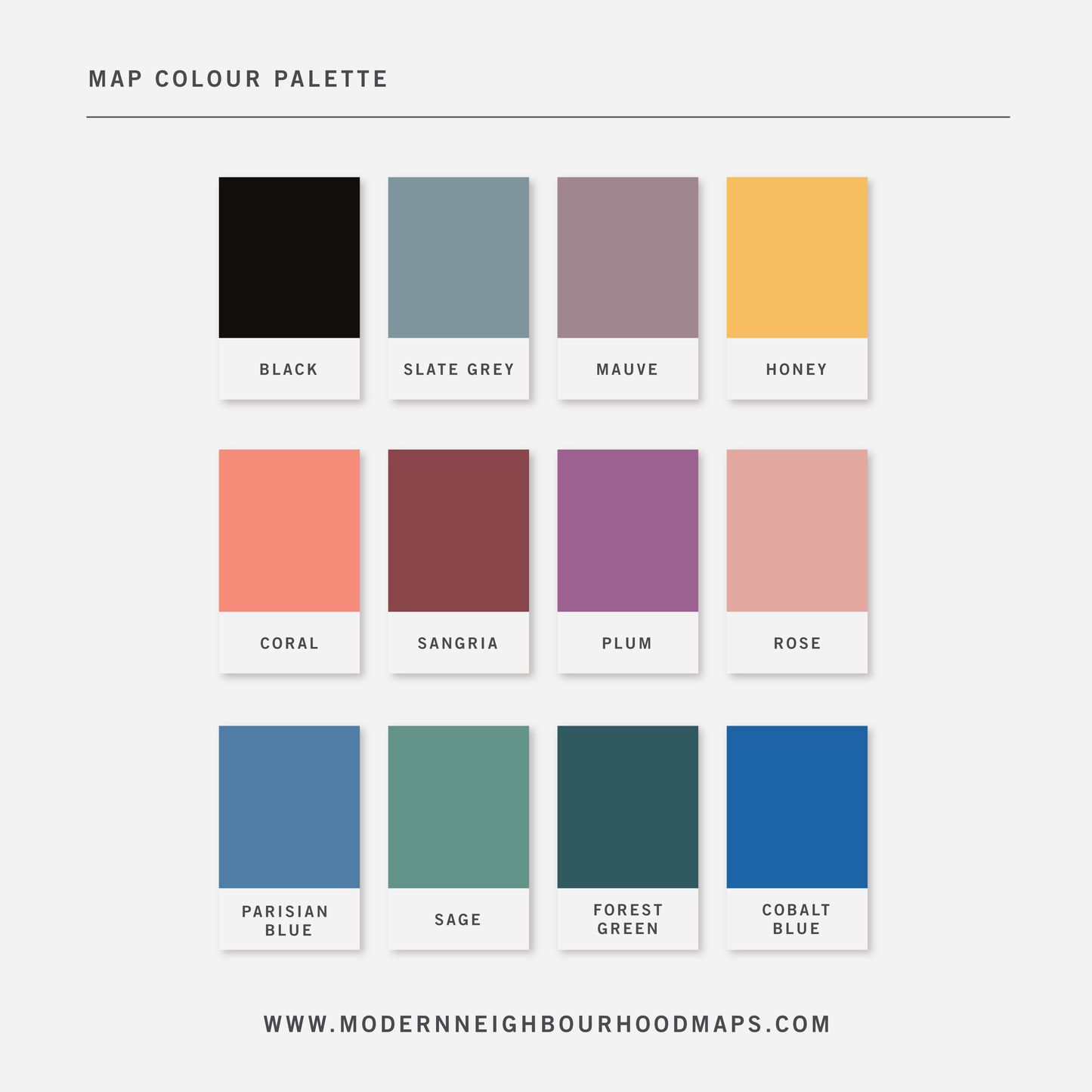
Their selection of paper from responsible sources are backed with certifications from:
- The Forest Stewardship Council
- The Rainforest Alliance
- The Programme for the Endorsement of Forest Certification
- The Sustainable Forestry Initiative
- The Canadian Standards Association