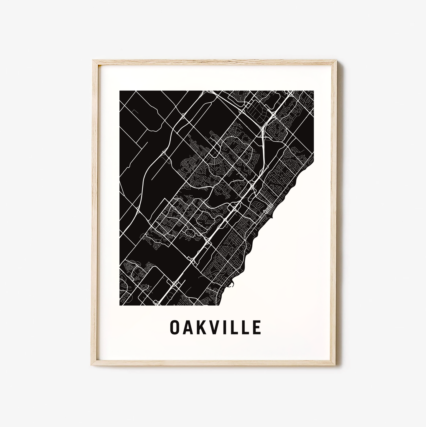
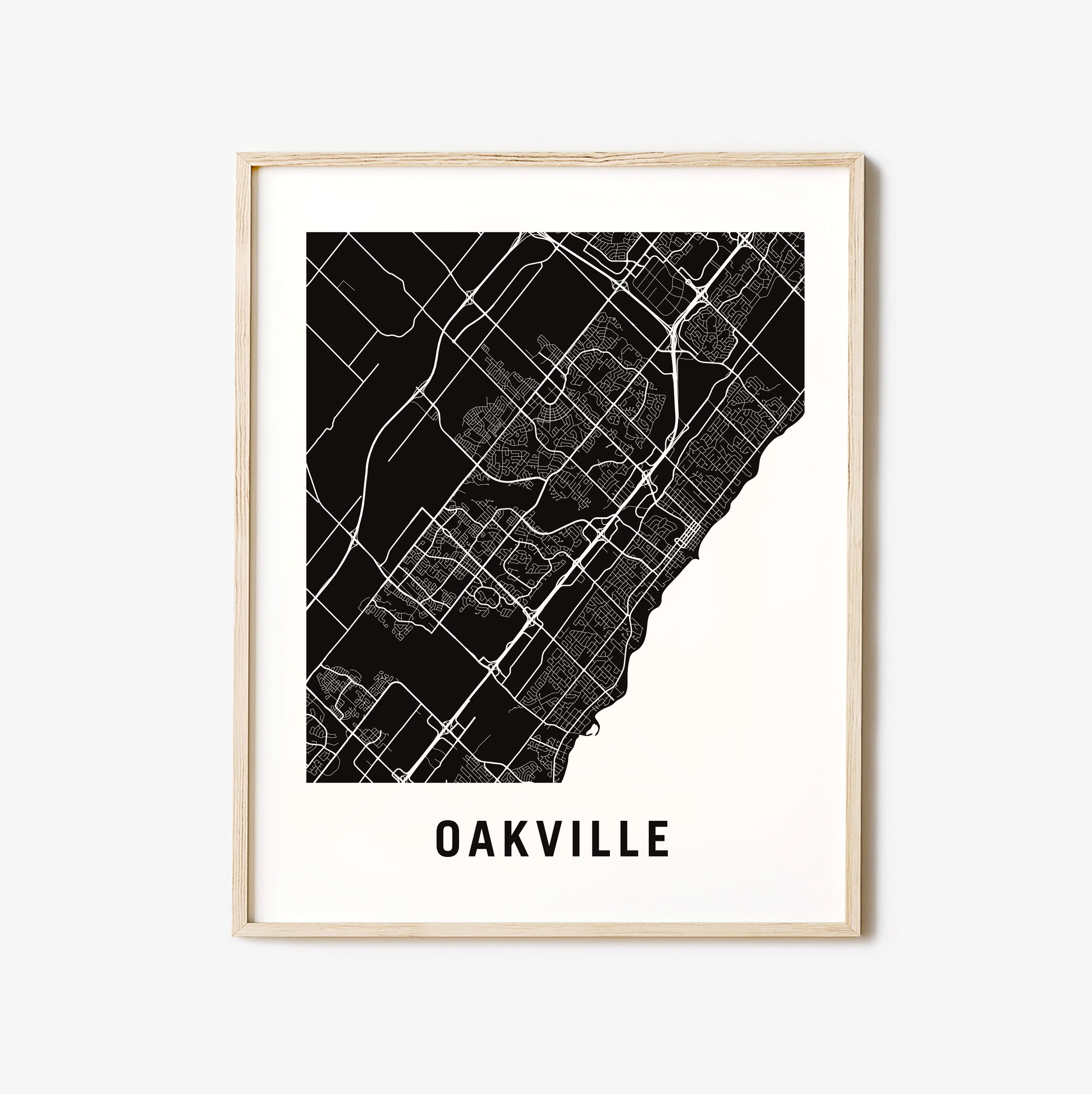
Oakville City Map
Oakville City Map
Couldn't load pickup availability
Town of Oakville
Oakville is located on the Treaty Lands and Territory of the Mississaugas of the Credit. The Town of Oakville was founded in 1857 by Colonel William Chilsolm, who purchased the land at the 16 Mile and 12 Mile (now known as Bronte) Creeks.
The population in 1846 was 1,500. The community shipped large quantities of wheat and lumber via schooners and the railway. There were three churches, a grist mill and saw mill, and various small companies making threshing machines, wagons, watches, saddles, and metal goods.
Oakville's industries also included shipbuilding. In the 1850s, there was an economic recession and the foundry, the most important industry in town, was closed. Basket-making became a major industry in the town, and the Grand Trunk Railway was built through it. In 1869, the population was 2,000. The community was served by the Great Western Railway and it was a port on Lake Ontario.
The town eventually became industrialized with the opening of Cities Service Canada (now Petro Canada) and Shell Canada oil refineries, the Procor factory, and, most importantly, the Ford Motor Company's Canadian headquarters and plant, all close to the Canadian National Railway and the Queen Elizabeth Way highway between Toronto and Fort Erie.
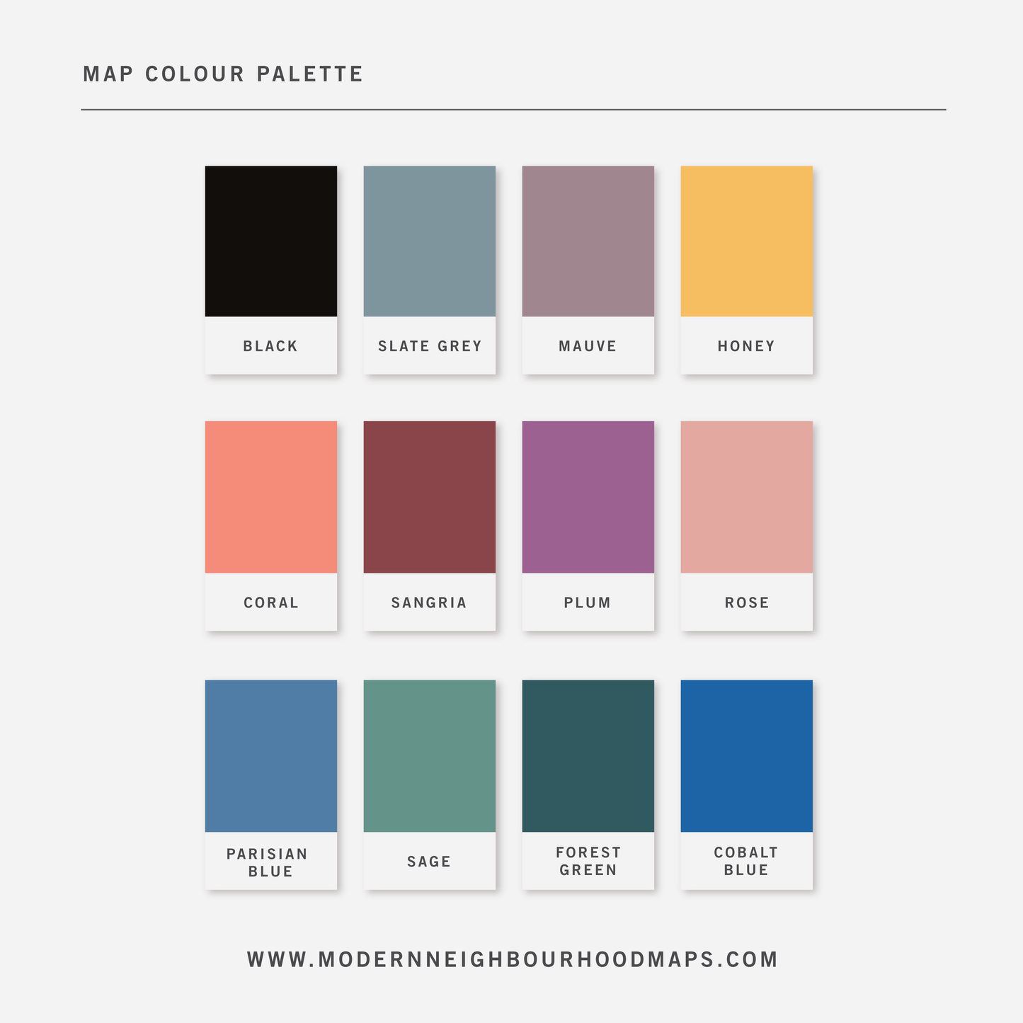
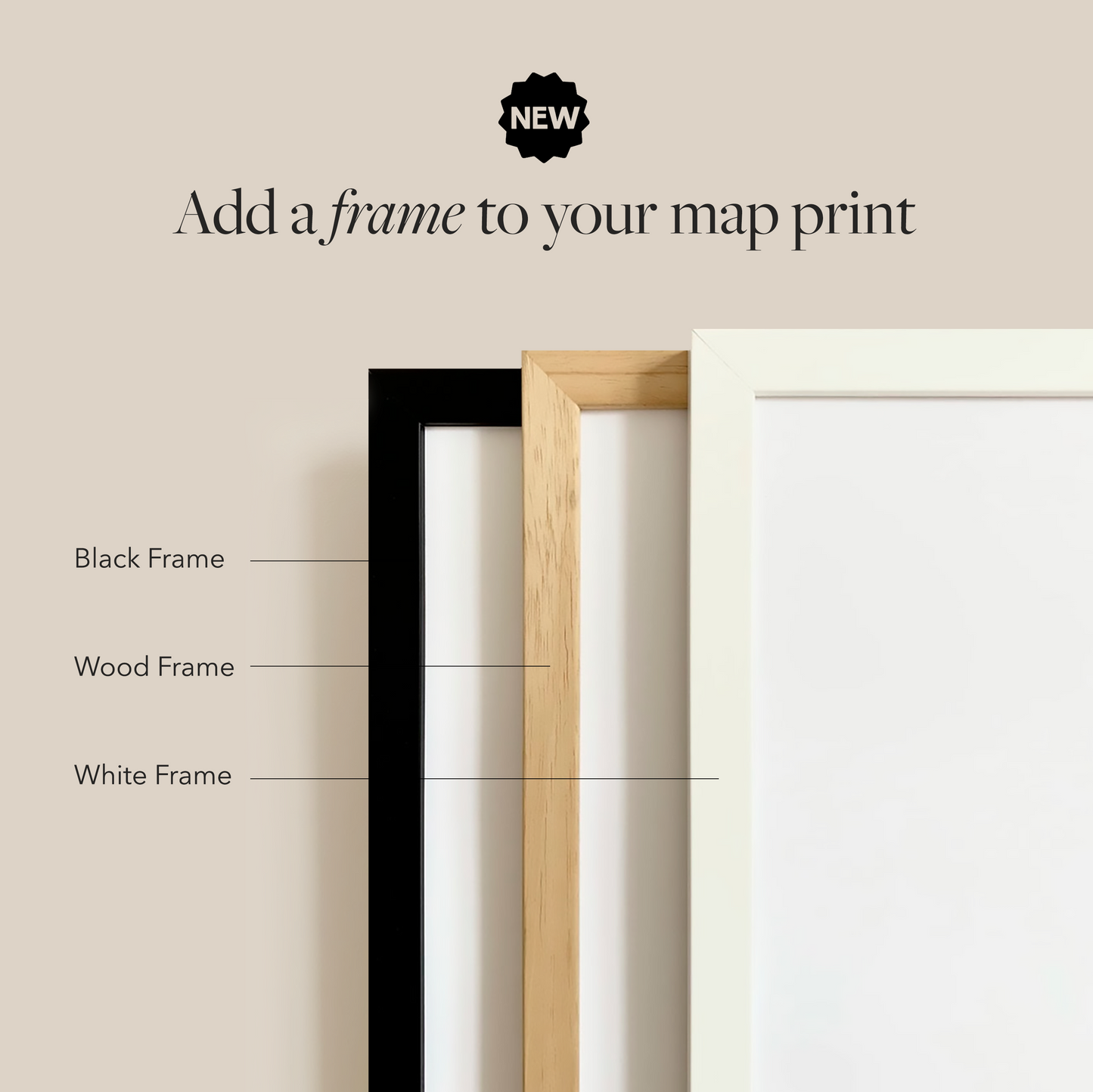
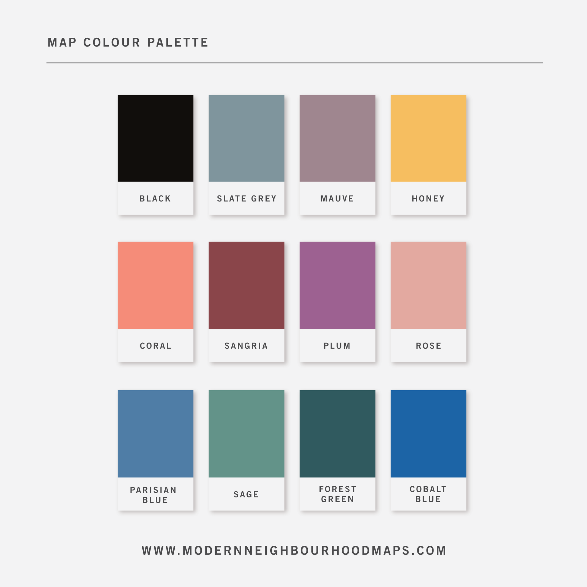
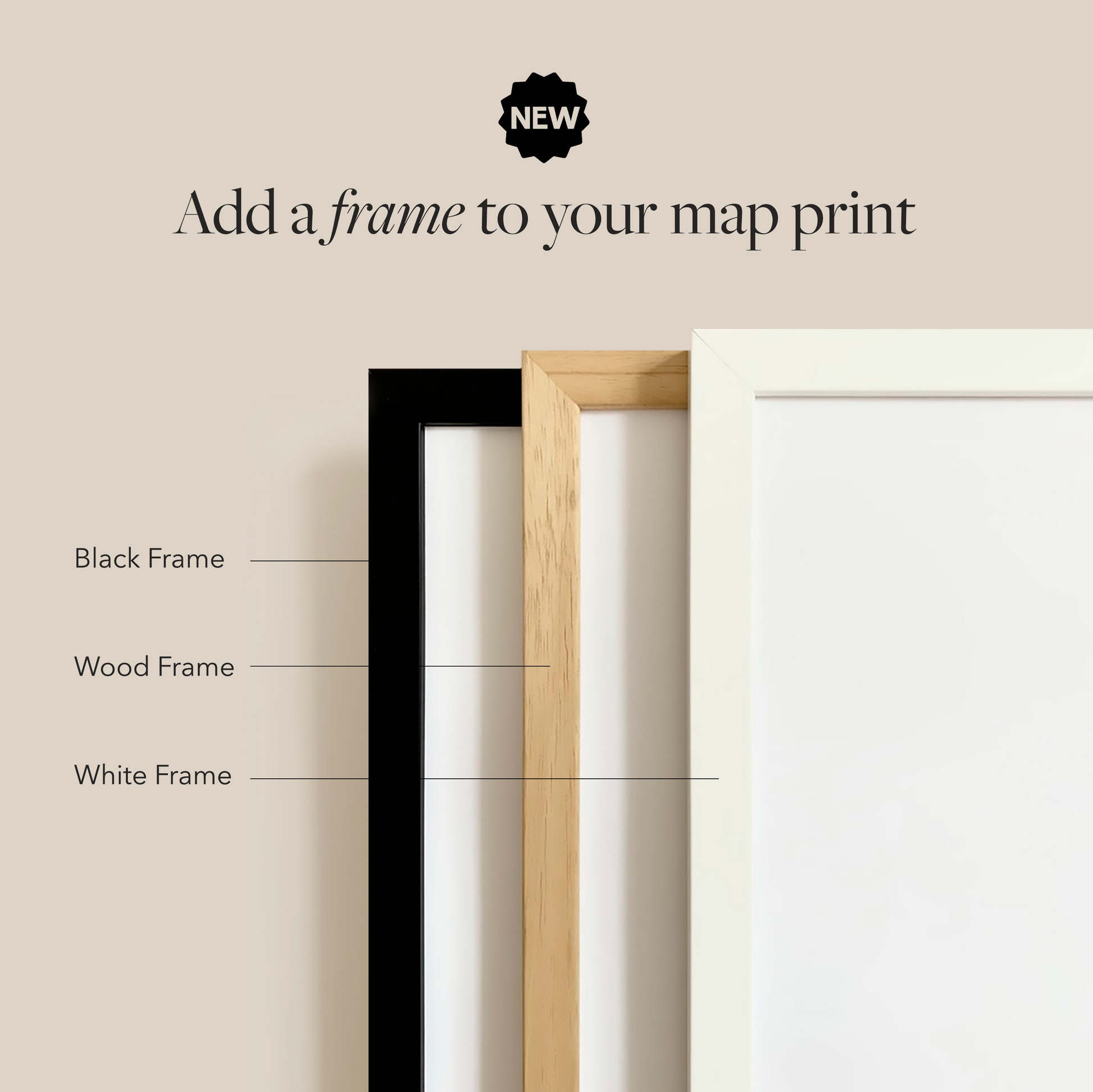
Physical Prints: My prints are uniquely designed, printed on thick, high-quality paper and carefully packaged for delivery. Various colours and custom sized prints available upon request. See colour chart provided. Frame is not included.
Digital Downloads: Each PDF file is high-resolution (300 pixels/inch), which will give you very clean and sharp prints. This is a digital file. No physical items will be sent.
Customization
Customization
Choose from a wide range of colors, add a heart to your home, or request a custom-sized print. I am happy to personalize your map to make it extra special.
Digital Download
Digital Download
If you choose to purchase a digital print, you will receive a high-resolution PDF file which will give you very clean and sharp prints when printed any size.
At this time, customization of prints (heart on address) are for physical prints only.
Shipping & Delivery
Shipping & Delivery
We offer FREE SHIPPING worldwide!
All our posters are printed on demand in order to ensure great quality, minimize waste, and be environmentally conscious.
All our prints are packaged in 100% recycled cardboard poster tubes or stiff photo envelopes.
Learn more about our shipping policy here.
Our Commitment
Our Commitment
Our map posters are designed and printed locally in Toronto, Ontario, Canada.
They are printed on 190GSM smooth PhotoSatin paper which offers vivid colours and great contrasting blacks.
Our local Canadian print house carefully selects sustainably sourced paper with fiber originating from FSC-certified, longstanding plantations, or from new fiber plantations established on degraded agricultural or pasture lands within Canada.
Their selection of paper from responsible sources are backed with certifications from:
- The Forest Stewardship Council
- The Rainforest Alliance
- The Programme for the Endorsement of Forest Certification
- The Sustainable Forestry Initiative
- The Canadian Standards Association
