West Hillhurst Map, Calgary
West Hillhurst Map, Calgary
Couldn't load pickup availability
West Hillhurst Neighbourhood
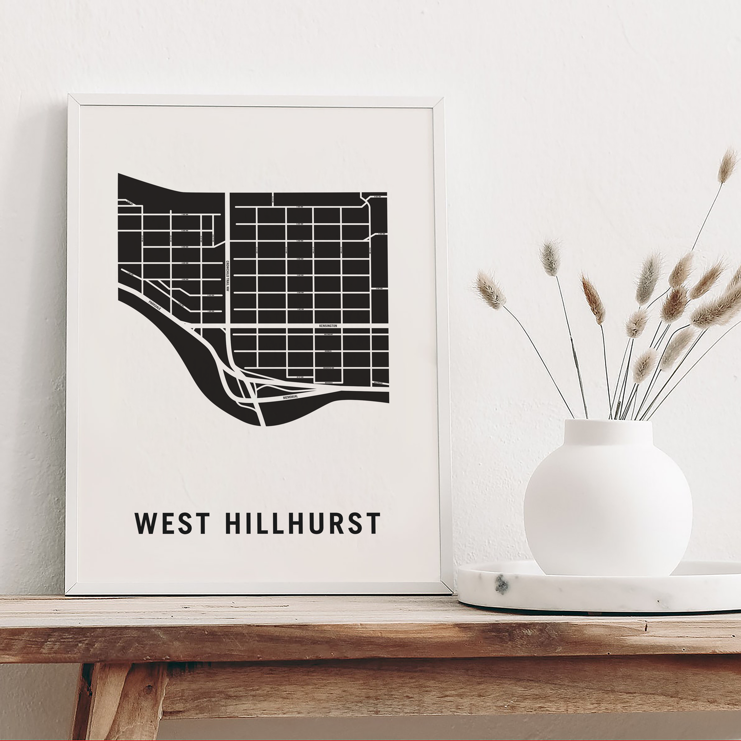
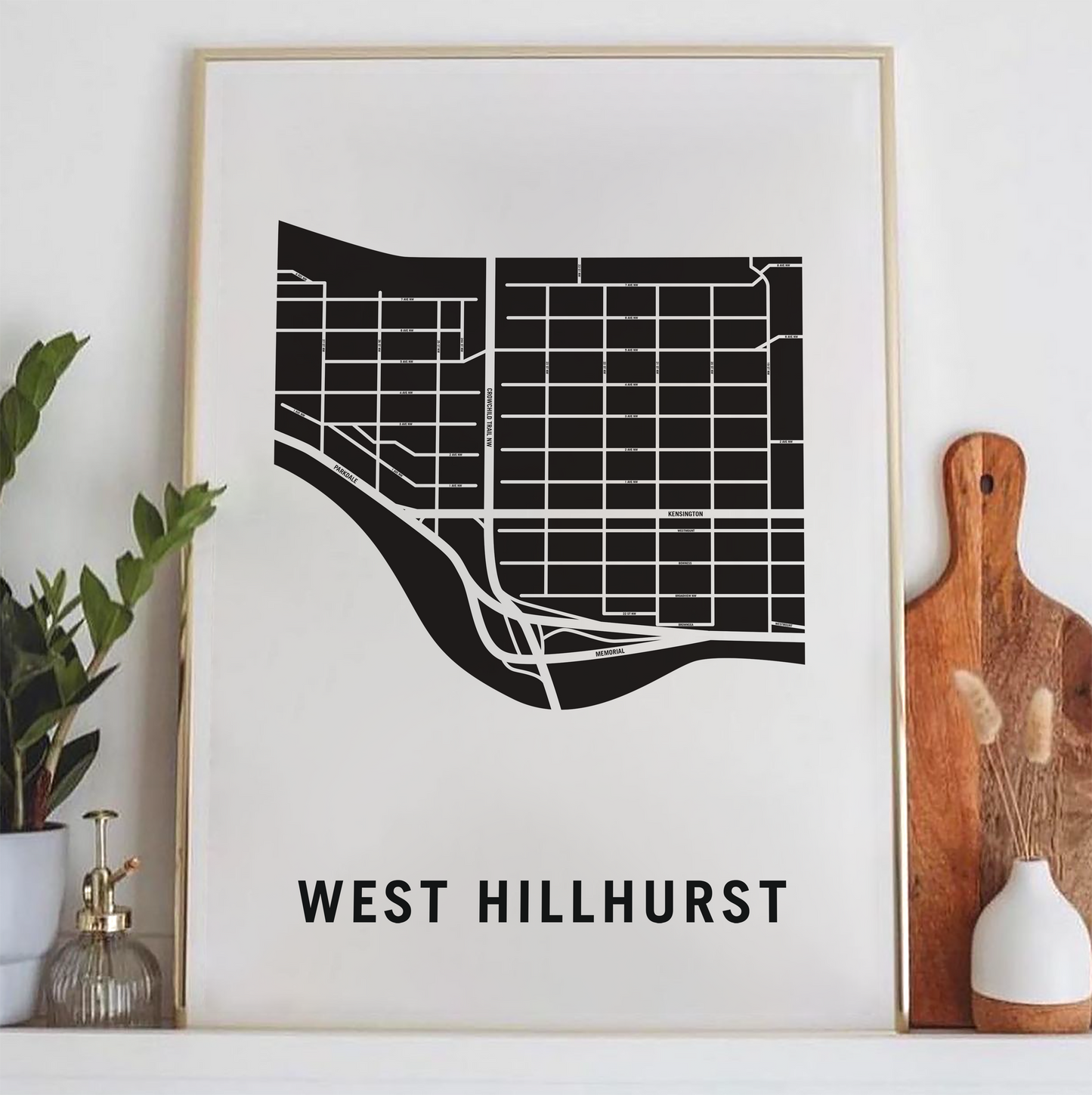
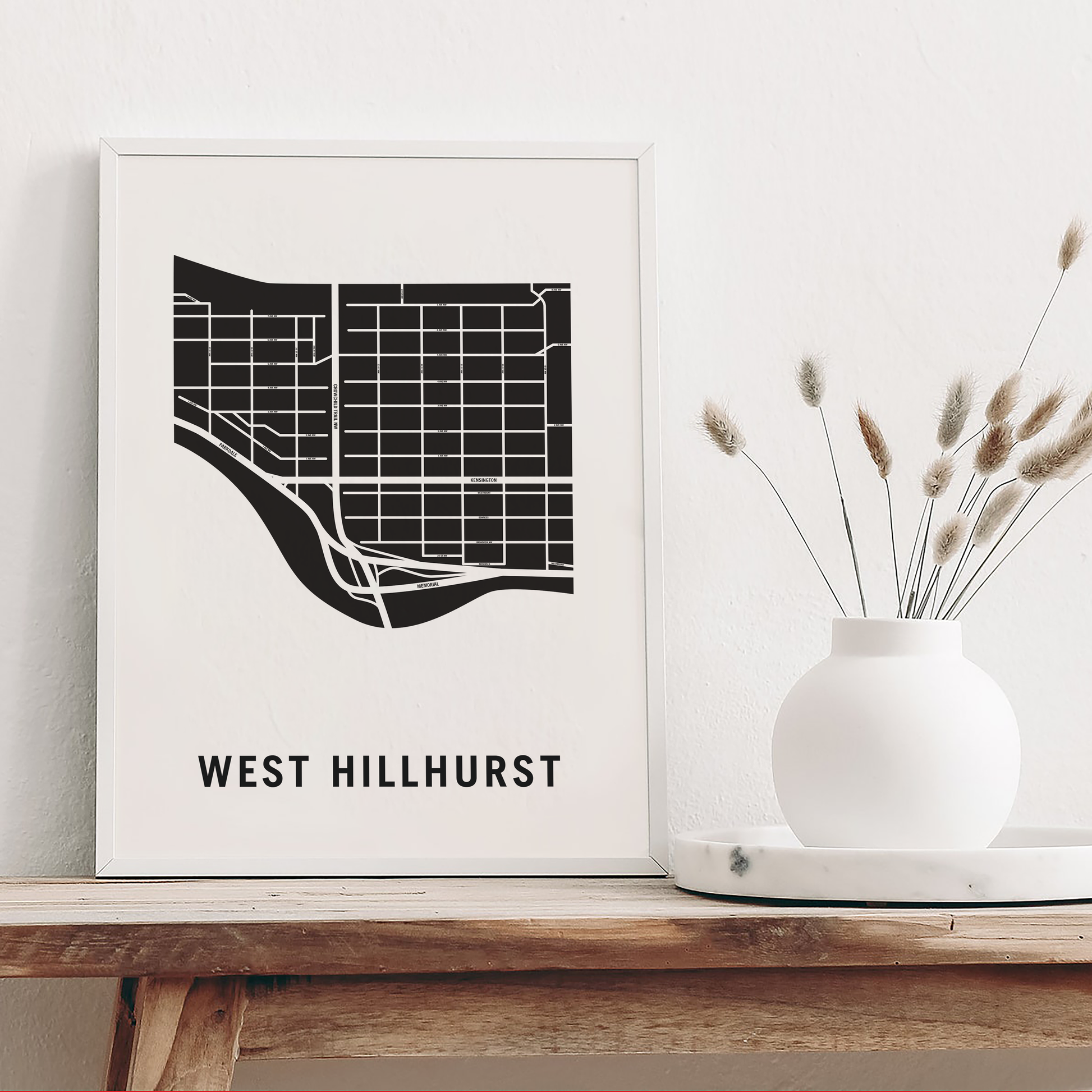
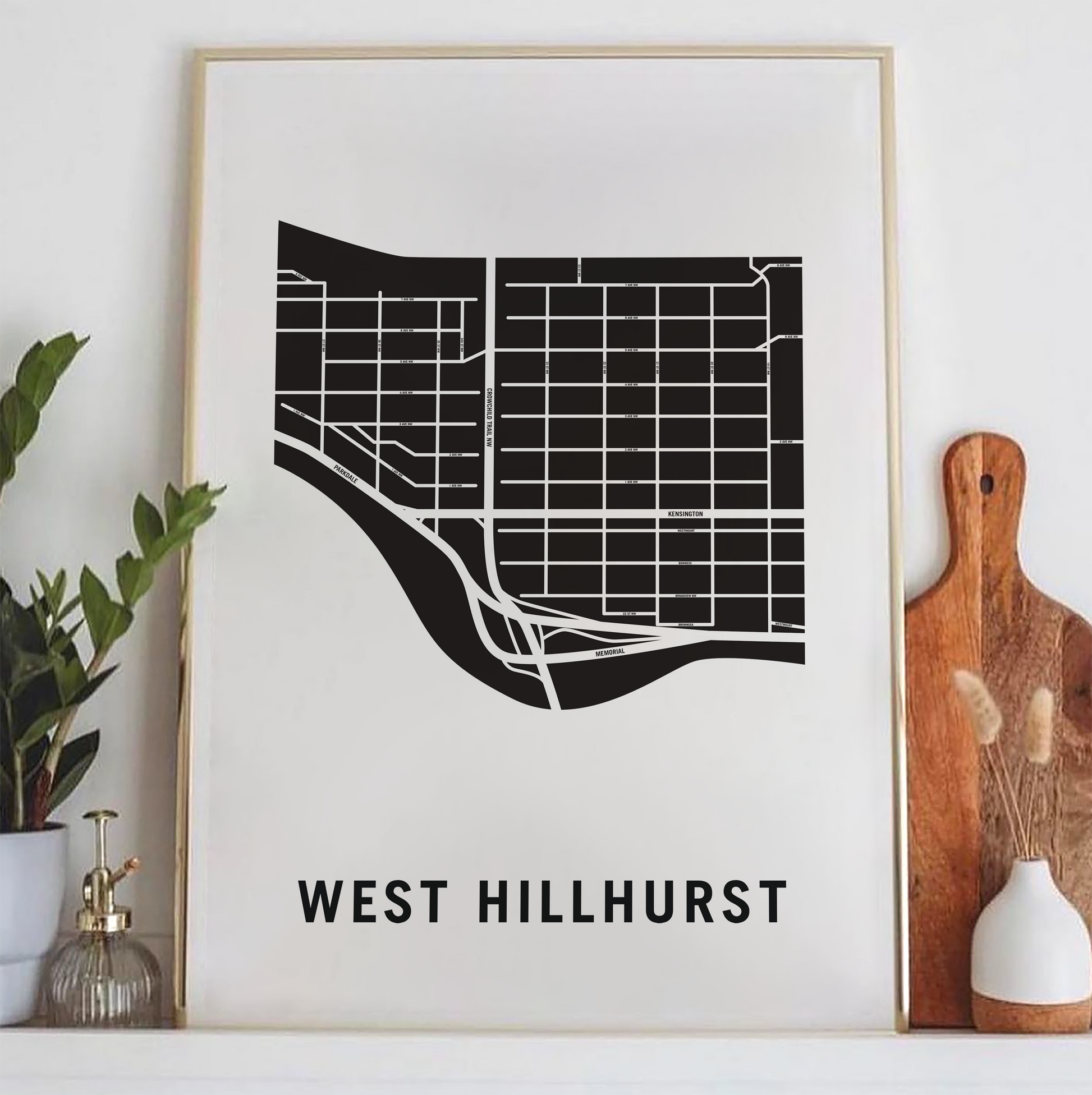
West Hillhurst is a northwest neighbourhood lying within the inner suburbs of Calgary, Alberta, Canada. The community, which is located west of Hillhurst, is bisected by Crowchild Trail. On the north, West Hillhurst is bordered by the communities of Hounsfield Heights/Briar Hill and St. Andrews Heights.
Although annexed by the city of Calgary in 1907, substantial development did not occur until 1945 when many of the houses were built as "Victory Homes" for soldiers returning from World War II. A number of these buildings are still standing despite the fact that many were only intended to be temporary.
Physical Prints: My prints are uniquely designed, printed on thick, high-quality paper and carefully packaged for delivery. Various colours and custom sized prints available upon request. See colour chart provided. Frame is not included.
Customization
Customization
Choose from a wide range of colors, add a heart to your home, or request a custom-sized print. I am happy to personalize your map to make it extra special.
Digital Download
Digital Download
If you choose to purchase a digital print, you will receive a high-resolution PDF file which will give you very clean and sharp prints when printed any size.
At this time, customization of prints (heart on address) are for physical prints only.
Shipping & Delivery
Shipping & Delivery
We offer FREE SHIPPING worldwide!
All our posters are printed on demand in order to ensure great quality, minimize waste, and be environmentally conscious.
All our prints are packaged in 100% recycled cardboard poster tubes or stiff photo envelopes.
Learn more about our shipping policy here.
Our Commitment
Our Commitment
Our map posters are designed and printed locally in Toronto, Ontario, Canada.
They are printed on 190GSM smooth PhotoSatin paper which offers vivid colours and great contrasting blacks.
Our local Canadian print house carefully selects sustainably sourced paper with fiber originating from FSC-certified, longstanding plantations, or from new fiber plantations established on degraded agricultural or pasture lands within Canada.
Their selection of paper from responsible sources are backed with certifications from:
- The Forest Stewardship Council
- The Rainforest Alliance
- The Programme for the Endorsement of Forest Certification
- The Sustainable Forestry Initiative
- The Canadian Standards Association
